

The Science Behind Nautical Charts and Why Accuracy Matters
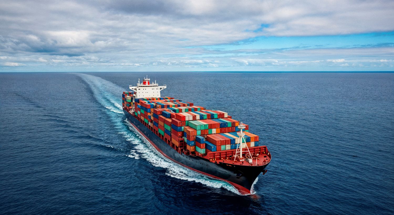
Nautical charts are the backbone of safe and efficient marine navigation, representing a carefully constructed blend of science, observation, and technology. Unlike standard maps, nautical charts are specifically designed for use at sea, providing critical information such as water depths, coastline features, underwater hazards, and navigational aids. For centuries, these charts have guided mariners across oceans, helping them avoid danger and reach their destinations safely. Even today, in a world dominated by digital systems, the science behind nautical charts remains fundamental to maritime operations.
At first glance, a nautical chart may appear similar to a regular map, but it contains far more specialized data. Depth measurements, known as soundings, are one of the most important features. These measurements are collected using advanced hydrographic surveying techniques, including sonar systems that map the seafloor with remarkable precision. In addition to depths, charts display symbols representing hazards such as rocks, wrecks, and sandbanks. Navigational aids like lighthouses and types of buoy are also clearly marked, providing visual guidance to vessels operating near coastlines and ports.
The accuracy of nautical charts depends heavily on the quality of data collected during hydrographic surveys. These surveys involve measuring the physical characteristics of water bodies, including depth, tides, currents, and seabed composition. Modern surveys use technologies such as multibeam echo sounders and satellite positioning systems to create highly detailed representations of underwater terrain. However, even with advanced tools, maintaining accuracy is an ongoing challenge, as the marine environment is constantly changing due to natural and human activities.
One of the key scientific principles behind nautical charts is geodesy, the study of the Earth’s shape and size. Charts are based on specific coordinate systems and map projections that allow curved surfaces to be represented on flat paper or screens. The choice of projection affects how distances, angles, and areas are displayed, making it crucial for navigators to understand how to interpret chart data correctly. Small errors in projection or positioning can lead to significant navigation risks, particularly in confined waters.
Another important factor influencing chart accuracy is tidal variation. Water levels are not constant and can change significantly due to tides, weather conditions, and atmospheric pressure. Nautical charts typically show depths relative to a reference level, such as mean lower low water, but actual conditions may differ. Mariners must account for these variations when navigating, using tide tables and real-time data to ensure sufficient clearance from the seabed and underwater obstacles.
Human activity also plays a role in altering marine environments, further emphasizing the need for accurate and updated charts. Construction projects, dredging operations, and the installation of offshore structures can change seabed conditions and create new hazards. Shipping traffic and environmental factors, such as sediment movement, can also reshape coastal areas over time. Hydrographic organizations continuously update charts to reflect these changes, but navigators must remain vigilant and use the latest available information.
In recent years, the transition from paper charts to electronic systems has enhanced both accessibility and accuracy. Electronic Chart Display and Information Systems (ECDIS) integrate real-time positioning data with digital charts, allowing mariners to see their exact location in relation to charted features. These systems can automatically update chart data, reducing the risk of using outdated information. However, the underlying science remains the same, and the reliability of digital charts still depends on the quality of the original data.
Accuracy in nautical charts is not just a matter of convenience—it is a matter of safety. Even minor errors can have serious consequences, such as grounding, collisions, or environmental damage. For example, a vessel relying on inaccurate depth information may run aground, leading to costly repairs and potential pollution incidents. Similarly, incorrect positioning of hazards or navigational aids can result in misjudgments that put both crew and cargo at risk.
To ensure accuracy, international standards and organizations play a crucial role. Bodies such as the International Hydrographic Organization (IHO) establish guidelines for data collection, chart production, and symbol usage. These standards promote consistency and reliability across charts used worldwide, enabling mariners to interpret information correctly regardless of their location. Collaboration between countries and agencies also helps maintain a global network of accurate and up-to-date nautical charts.
Despite technological advancements, human expertise remains essential in interpreting and using nautical charts effectively. Mariners must understand chart symbols, recognize potential inaccuracies, and apply their knowledge to real-world conditions. Training and experience are critical in ensuring that charts are used correctly, particularly in complex or high-risk environments.
In conclusion, the science behind nautical charts is a complex and evolving field that combines hydrography, geodesy, and advanced technology. Accuracy is at the heart of this science, directly influencing the safety and efficiency of marine navigation. As the maritime industry continues to advance, the importance of precise, reliable chart data will only grow. Whether in traditional or digital form, nautical charts will remain an indispensable tool for guiding vessels safely across the world’s waters.
- Digital Agency
- Literie
- Location de voitures
- Restaurant
- Restaurant
- Mode
- Mode
- Information
- Marketing
- Tourisme
- Développement
- Découverte
- Législation
- Gastronomie
- Pâtisserie
- Evento
- Art
- Causes
- Crafts
- Dance
- Drinks
- Film
- Fitness
- Food
- Jogos
- Gardening
- Health
- Início
- Literature
- Music
- Networking
- Outro
- Party
- Religion
- Shopping
- Sports
- Theater
- Wellness
 Portuguese
 Indian
 English
 French
 Arabic
 Spanish
 Deutsch
 Turkish
 Dutch
Dutch
 Italiano
 Russian
 Romaian
 Portuguese (Brazil)
 Greek
Greek